
Revolutionising mosquito-borne disease control using GeoAI
Researchers at Lingnan University have designed an AI-enabled smart system that records mosquito behaviour to predict and manage disease risk in urban areas

Sponsored by Lingnan University

Sponsored by

Sponsored by
Thousands of species of mosquitoes exist globally. In urban regions, they can spread diseases such as dengue, malaria and chikungunya. Mosquitoes can withstand cold and temperatures, making them active throughout the year in Southeast Asia. However, conventional approaches to managing mosquito populations tend to be reactive. A team at Lingnan University in Hong Kong has developed a geospatial AI platform that can monitor and predict mosquito activity, enabling local authorities and communities to prevent and mitigate the spread of mosquito-borne diseases.
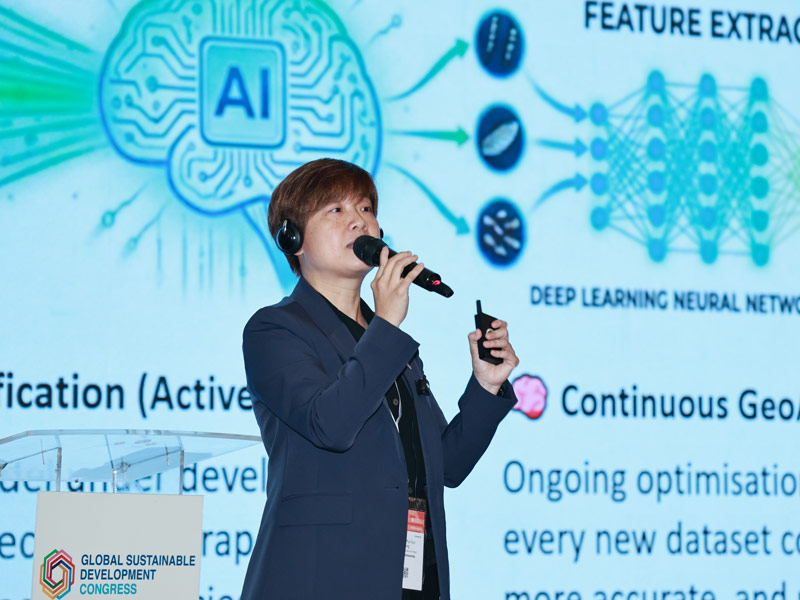
A session – held in partnership with Lingnan University – at the 2026 Global Sustainable Development Congress, showcased the award-winning innovation. Paulina Wong, associate professor and head of the Division of Science at Lingnan University, explained the complexities of understanding mosquito behaviour. For example, Culex mosquitoes generally prefer the daytime, while Aedes mosquitoes are more active at night. “If we combine habitat and other data with geospatial AI, we can produce a response that shows whether there is an outbreak,” she said.
Developed with funding from Hong Kong’s Innovation and Technology Commission and the Food and Environmental Hygiene Department, the GeoAI smart mosquito-borne disease prevention and control solution uses a network of solar-powered devices equipped with Internet of Things technology. These trap mosquitoes like conventional units, while also recording mosquito numbers alongside environmental data such as temperature, humidity, rainfall, wind speed and solar radiation. The sensors continuously collect data, creating a real-time picture of mosquito activity.
By combining this information with other datasets such as historical outbreak records, the system can forecast mosquito activity up to three days in advance. GeoAI can recognise spatial relationships and geographical patterns, improving the accuracy of these predictions. The forecasts are translated into a mosquito risk index, with different outputs in the morning, afternoon and evening when different species are active. The index is available through a digital platform so local organisations such as schools, cleaning companies and property managers can target their interventions and potentially reduce insecticide costs and avoid impact on biodiversity. The system also includes community-generated data by enabling people to report mosquito issues and hotspots.
“Since 2022, we have engaged around 60 sites to try out the platform, including government departments, villages, schools and construction sites,” said Wong. “After one year, we got around an 81 per cent satisfaction rate and the public agrees that this is helping them with preventive management.” One of the first collaborative academic-industry research projects in Hong Kong, the project has won several awards for social impact. By building a comprehensive database, it supports data-driven decision making and ultimately, the transition from reactive to preventive measures in managing mosquito-borne diseases.
Looking to the future, Wong expressed hope that the system can move into species identification so that communities can develop more targeted intervention strategies, as climate change drives global temperatures higher.