Harnessing Satellite Insights for Building Resilient and Sustainable Cities: Baku State University’s Ecologists in Action
As the rapid growth of cities continues to place pressure on natural resources, infrastructure, and social systems, the need for sustainable and resilient urban planning has become increasingly urgent. This challenge is especially visible in densely populated regions such as the Kur–Araz plain, where environmental degradation, the expansion of built-up areas, and unequal access to services are becoming more pronounced. Responding to these dynamics, researchers and students of the Faculty of Ecology and Soil Science at Baku State University have embarked on an ambitious initiative that integrates satellite analytics with Geographic Information Systems (GIS) to support scientifically grounded urban development strategies.
Sponsored by

Sponsored by
At the core of the project is a comprehensive GIS database that brings together information on surface and underground resources, environmental conditions, demographic patterns, and urban infrastructure. Using advanced processing tools, the research team analyzed multispectral imagery from Landsat, Sentinel, and Azersky satellites, creating detailed spatial maps that reveal the evolving landscape of cities. As one of the winning teams in the national project competition supported by Azercosmos, they gained access to high-resolution satellite images that significantly strengthened the analytical depth of the study.
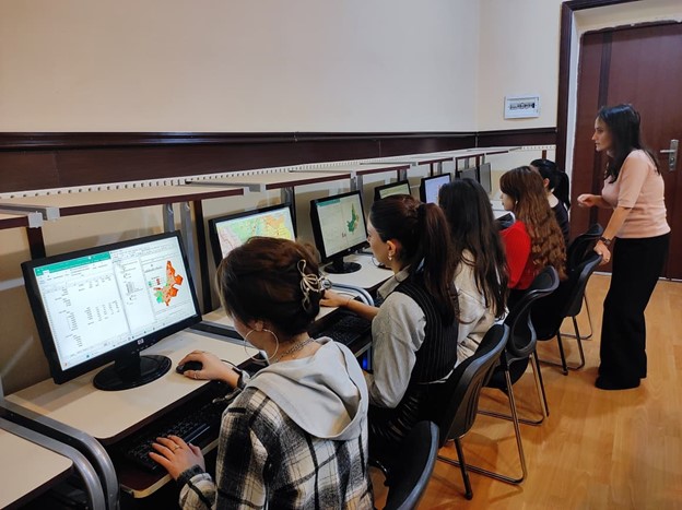
The research was carried out in the faculty’s computer laboratory, where modern spatial decoding techniques were applied to assess urban dynamics over the past decades. A multi-criteria decision-making approach was used to evaluate territorial suitability, identify optimal infrastructure layouts, and model settlement patterns. Long-term satellite observations demonstrated that the built-up area of 17 cities in the region has nearly doubled over the last 40 years, resulting in the expansion of not only cities but also surrounding villages. This rapid transformation has intensified pressure on agricultural land and water resources, raising serious concerns for food security and long-term sustainability.
In parallel, the team closely monitored environmental and climatic changes. Using indicators such as NDVI and MNDWI, they assessed the reduction of green spaces, the decline of water bodies, and the drying of soils. The impact of urban heat islands became evident through thermal analyses based on Landsat imagery, which revealed substantial temperature increases in cities such as Hajigabul, Shirvan, Neftchala, Salyan, Saatli, Imishli, and Zardab. These findings underscore how the expansion of impervious surfaces, industrial activities, and inadequate greenery contribute to rising temperatures and microclimate shifts in urban environments.
Through GIS-based modeling, the research team classified urban territories into stable, relatively stable, and intensively built-up zones. This classification serves as a valuable decision-making resource for urban planners and policymakers, helping them understand where infrastructure investments are most needed and where natural areas should be preserved. The predictive models developed by BSU ecologists also provide insights into how future urban expansion may unfold, considering factors such as population growth, industrial development, and transportation networks.
The project contributes directly to Azerbaijan’s broader sustainability goals and advances the country’s alignment with global priorities under the United Nations Sustainable Development Goals, particularly SDG 11 on sustainable cities, SDG 13 on climate action, and SDG 9 on industry and innovation. By strengthening the scientific basis for urban planning, the initiative highlights the role of universities as catalysts for sustainable development and climate resilience.
The outcomes of the research have been shared widely through publications in high-ranking academic journals and presentations at international conferences. As cities continue to grow and face complex environmental challenges, the satellite- and GIS-based insights generated by BSU’s ecologists provide a crucial foundation for building more resilient, equitable, and sustainable urban futures.